Home
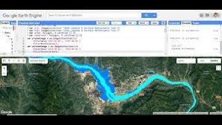
Download NDWI in Google Earth Engine and Visualize image in ArcGIS
Terra Spatial
Aug 15, 2023
2,399 views
Download UBI Using Google Earth Engine and Visualizing Imagery in ArcGIS
How to Calculate NDSI Using Google Earth Engine || GEE
Wildfire Detection and Vegetation Change Mapping Using VIIRS & Landsat 8 Imagery in Earth Engine
Water Quality Monitoring Using Google Earth Engine
How to Prepare Normalized Difference Water Index (NDWI) and Extract Water Bodies from NDWI
How to Download NDVI Data from Landsat Images in Google Earth Engine | Step-by-Step Tutorial
Water Turbidity Mapping using Sentinel 2 Images in Google Earth Engine | Mahanadi Basin Case Study
Download Landsat 8 image using Earth Engine | Open in ArcGIS
Chlorophyll-a Concentration Estimation on Google Earth Engine, and Export Images #GEE #Chlorophyll
Google Earth Engine code for calculating NDWI from Sentinel 2 image collection | GEE online training
Download and Visualize Google Open Buildings Data| Earth Engine + QGIS
Downloading CHIRPS Satellite Rainfall Data using Google Earth Engine || How to make rainfall map
Creating Cloud-free Composite of Sentinel-2 and Landsat 8 & 9 using Google Earth Engine
LST, Urban Heat Island Effect, and UTFVI Analysis using Google Earth Engine and Landsat dataset
Google Earth Engine Tutorial 4: How to Download Landsat Image
CALCULATE NDVI OF SENTINEL 2 IN GOOGLE EARTH ENGINE
OSINT At Home #9 – Top 4 Free Satellite Imagery Sources
Flood Mapping Google Earth Engine Using Sentinel SAR Satellite Imagery
Drought Mapping with VCI in Google Earth Engine: A Step-by-Step Tutorial