Home
Crop yield prediction with remote sensing data in Precision Agriculture in Google Earth Engine
1 วันที่ผ่านมา
15:11
Identification of The Relationship Between LST And NDVI using Google Earth Engine
2 วันที่ผ่านมา
7:52
Water Quality: Monitoring Algae Blooms Using Google Earth Engine & Wind Speed Correlation Analysis
3 วันที่ผ่านมา
24:43
How to Identify Potential Gold Mineral areas using remote sensing in Google Earth Engine? Iron oxide
5 วันที่ผ่านมา
10:19
Agriculture Land Suitability Detection Model with Google Earth Engine || Suitability Analysis
6 วันที่ผ่านมา
10:00
How to monitor Vegetation change detection analysis using Google Earth Engine?
6 วันที่ผ่านมา
38:57
Hydrological Applications in Google Earth Engine || River Network map and Distance to River Map
6 วันที่ผ่านมา
10:42
Land use/land cover (LULC) classification using CNN deep learning algorithm
7 วันที่ผ่านมา
31:24
Remote Sensing for Agriculture: Crop types of Classification using Google Earth Engine
10 วันที่ผ่านมา
11:59
Remote sensing for water salinity monitoring in Google Earth Engine
11 วันที่ผ่านมา
28:52
How to predict future NDVI time series chart using Google Earth Engine Python API and ARIMA
11 วันที่ผ่านมา
11:13
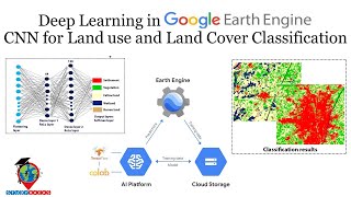
Deep Learning in Google Earth Engine || CNN for Land use and Land Cover Classification
12 วันที่ผ่านมา
12:16
How to identify potential gold bearing areas using Clay Minerals Ratio (CMR) & Iron Oxide Ratio(IOR)
12 วันที่ผ่านมา
5:41
Time Series Chart of NDVI using Google Earth Engine Python API || Earth Engine Python API
13 วันที่ผ่านมา
31:32
Modis Satellite Data for Detecting Dust Storm Using Remote Sensing Techniques in Google Earth Engine
13 วันที่ผ่านมา
7:48
FLOOD MAPPING USING Machine Learning in Google Earth Engine
2 สัปดาห์ที่ผ่านมา
36:34
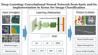
Deep Learning: CNN model from basic and its implementation in Keras for Image Classification
2 สัปดาห์ที่ผ่านมา
37:06
Pan-Sharpening on Landsat 8 image in Google Earth Engine
2 สัปดาห์ที่ผ่านมา
12:15
Deep Learning CNN Model for Land Use Land Cover Classification Using Remote Sensing Images
2 สัปดาห์ที่ผ่านมา
45:04
Air Quality Monitoring: Satellite remote sensing of formaldehyde using Google Earth Engine
2 สัปดาห์ที่ผ่านมา
13:42
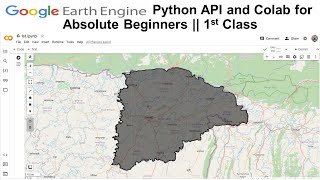
Google Earth Engine Python API and Colab for Absolute Beginners || 1st Class
2 สัปดาห์ที่ผ่านมา
15:40
How to monitor Urban Heat Island (UHI) and UTFVI using Landsat imagery in Google Earth Engine
2 สัปดาห์ที่ผ่านมา
1:27:07
Object Detection of UAV Aerial Image based on YOLOv8 || Computer vision and Artificial Intelligence
3 สัปดาห์ที่ผ่านมา
8:44
Mapping Built-Up and Bare Land in an Urban Area Using EBBI on Google Earth Engine
3 สัปดาห์ที่ผ่านมา
10:56
How to Set up Earth Engine enabled Cloud Project || Google Earth Engine Cloud project
3 สัปดาห์ที่ผ่านมา
8:17
How to make Elevation, Rainfall, Wind Velocity & Humidity mapping using Google Earth Engine
3 สัปดาห์ที่ผ่านมา
24:51
Land use and Land Cover Classification using Machine learning in Google Earth Engine |LULC using GEE
3 สัปดาห์ที่ผ่านมา
21:42
Register Now: Remote Sensing for Earth Observation & Environmental Monitoring | Starts June 14
3 สัปดาห์ที่ผ่านมา
2:51
Water Quality: #BOD-Remote sensing monitoring of Biochemical oxygen demand using Google Earth Engine
3 สัปดาห์ที่ผ่านมา
36:35
Landsat7 Scan Line Correction in Google Earth Engine
3 สัปดาห์ที่ผ่านมา
21:56