Home
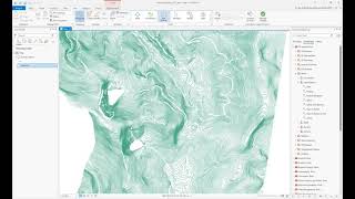
Elevation data interpolation in ArcGIS Pro
Jan Pacina
5 ธ.ค. 2021
การดู 3,822 ครั้ง
Landscape change analysis using elevation data in ArcGIS Pro and ArcMap
Working with CAD Data in ArcGIS Pro
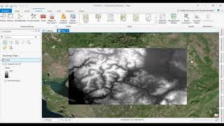
ArcGIS Pro: Point Interpolation (IDW vs Kriging)
Interpolation techniques in ArcGIS Pro - theory and practice (update autumn 2023)
How to create DEM in ArcMap
ArcGIS Pro: Analysis Overview
Creating Watersheds in ArcGIS Pro
Delineating Watersheds in ArcGIS Pro
DroneCamp2020: Processing UAV Images with ArcGIS Pro
Ordinary Kriging in ArcGIS Pro
Introduction to ArcGIS Pro Webinar
DroneCamp 2020: Vegetation Analysis & Classification in ArcGIS Pro
How to create DEM in ArcGIS Pro
Slope, Hillshade, Aspect, curvature & elevation map From DEM in ArcGIS
Creating database, subtypes, topology and map digitalization in ArcGIS PRO (update 1.4.22)
ArcGIS Pro: Tips and Tricks
Field Data/Laboratory Data to Spatial Distribution Map in ArcGIS
Spatial interpolation in QGIS
4 How to Generate Slope and Aspect Maps in ArcGIS Pro
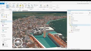
La visualisation 3D dans ArcGIS Pro et ArcGIS Online