Home
Modeling Biomass and Canopy Fuel Attributes Using LIDAR Technology
USU Extension Forestry
21 พ.ย. 2011
การดู 49,928 ครั้ง
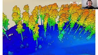
LiDAR Enhanced Forest Inventory - Demystified
Explore NASA GEDI Aboveground Biomass Datasets, Services, and Tools at NASA's ORNL DAAC
Dr. Nicholas Coops: Introduction to LiDAR Technology
Quantifying geomorphic change using drone-based lidar
RUS Webinar: Estimation of Forest Above-Ground Biomass with Sentinel-2 - PY02
Calculating biomass and carbon
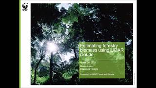
REDD+ Learning Session 60: Estimating Forest Biomass using LiDAR Clouds
U.S. Billion Ton Update: Biomass Supply for a Bioenergy and Bioproducts Industry
Learn LiDAR data processing in 60 minutes | WEBINAR
Full live มนัสวีร์ @ เมาส์บุรี By_GoodHand
NASA ARSET: Basics of Synthetic Aperture Radar (SAR), Session 1/4
Treeiso: Accurate Individual-Tree Isolation from Terrestrial Laser Scanning (3D Lidar)
Aboveground Biomass Estimation in R (Part 1) #tagng #forestry
NASA ARSET: LIDAR and its Applications, Part 1/4
Digital elevation model | DEM | DSM | DTM | What is Digital elevation model
Mapping and Monitoring Forest Biomass and Carbon Benefits
Tree canopy extraction in ArcGIS Pro
Getting Started with NASA Global Ecosystems Dynamics Investigation (GEDI) Lidar Data
Vegetation Forest Canopy Cover Estimation Using LIDAR/Photogrammetric Point Clouds Data and ArcGIS
An overview of forest remote sensing technologies