Home
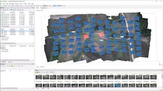
Agisoft Metashape - Complete Tutorial (Cloud, Mesh, DSM, DTM, Classify, Orthoimage - No GCPs)
Geospatial Tips
Sep 19, 2022
179,741 views
Adding Metashape GCPs - Be Careful!
Agisoft Metashape 2.1 presentation
Processing Drone Images with GCPs using Pix4D Mapper
DroneCamp 2020: Drone Imagery Processing with Agisoft Metashape
Agisoft Metashape Tutorial Photogrammetry for drone mapping with Ground Control Points
Agisoft Photoscan Workflow Tutorial
TUTORIAL Agisoft Metashape - orthophoto and DSM generation (with GCPs)
Photogrammetry: Making a 3D model look good
10 Steps to Calculate a Volume in Agisoft Metashape with GCPs | Aerial Surveying
How to process drone images in Agisoft Metashape (photogrammetry survey)
Which photogrammetry tool is the best ? (3DF Zephyr, Metashape, Reality Capture, Meshroom)
Agisoft Metashape Tutorial - Full Processing from photos to dense cloud - with Ground Control Points
Georeferencing in Agisoft Metashape using GCPs
Geoid Definition in Agisoft Metashape
Drone images classify 3d point clouds to generate DTM and contour lines
Agisoft Metashape - LiDAR and Photogrammetry. Compared and Combined.
Photogrammetry / 3d scanning - How to merge chunks in Agisoft Metashape
Agisoft Metashape orthophotomap processing workflow with GCPs
REM 475 Lab: Multispectral Image Processing, Part 1
Agisoft Metashape 1.6 Tutorial - Full Processing from photos to TIN Surface - with GCPs